
Editorial: From setbacks to success — ISRO’s desi navigation system gets a boost
The successful launch of the navigation satellite NVS-03 came as a shot in the arm for ISRO’s efforts to develop a desi navigation system as an Indian answer to the American GPS network. The feat is particularly significant in the wake of technical setbacks in the past that had raised doubts about the feasibility of the indigenous satellite navigation system, called (Navigation with Indian Constellation). Once NVS-03 is in orbit and commissioned, the system will have four satellites in operation. A functional satellite navigation system requires at least four satellites to be visible simultaneously for reliable positioning. Like the US Global Positioning System (GPS), NavIC is a . However, unlike GPS, which offers global coverage, NavIC is designed to serve India and the region extending roughly 1,500 km beyond its borders. , launched in January last year, was expected to bring NavIC back to the minimum number of satellites needed for positioning services. However, a problem arose during orbit-raising, and the engine could not fire. For NVS-03, ISRO adopted a different strategy to avoid a repeat of this problem, and it paid off. The failure of the imported was another blow to NavIC. ISRO has since developed indigenous rubidium atomic clocks, which are now being used on the NVS-class satellites. This reduces dependence on imported hardware. NavIC will play a crucial role in applications ranging from defence and disaster management to agriculture and fleet tracking.
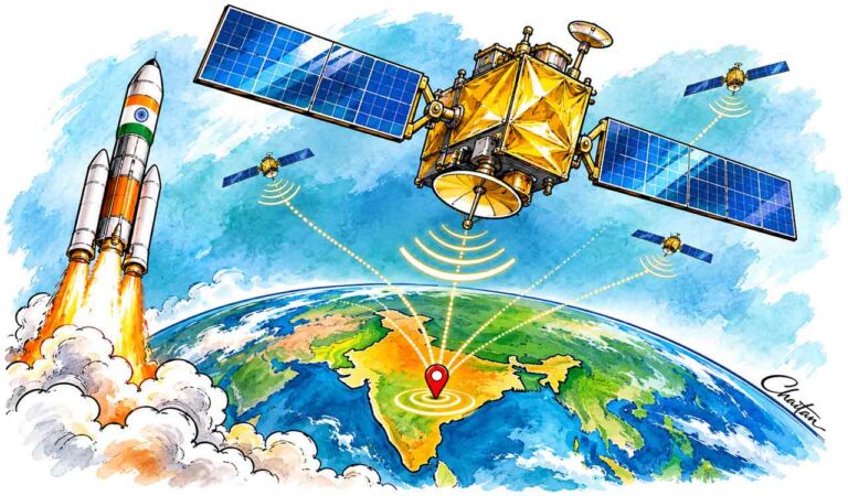
will provide two types of services—Standard Positioning Service (SPS) and Restricted Service (RS). The SPS provides position accuracy of better than 20 metres and timing accuracy of better than 40 nanoseconds over the service area. NVS-03 also has a key additional feature: support for the , which is used by many consumer navigation devices. This could, in principle, allow compatible smartphones and smartwatches to receive NavIC signals directly, thereby extending the utility of the system beyond just the defence domain. The benefits for are potentially huge, especially along the Tamil Nadu and Bengal coasts. NavIC-enabled equipment could alert a fishing vessel as it approaches a neighbouring country’s maritime boundary, helping it avoid an inadvertent crossing. With the right equipment, it could also be used for distress alerts. Farmers would benefit from accurate positioning for land surveying and services that combine satellite navigation with weather information. In aviation, NavIC could be used to support operations in poor visibility, provided the appropriate systems and procedures are in place. For the , an operational NavIC would reduce their reliance on GPS for navigation and guidance. The idea of NavIC was born out of a strategic need for indigenous navigation and timing services, particularly after India was denied access to foreign GPS data during the Kargil War. NavIC was designed to provide precise position, velocity and timing information over India and its surrounding areas.